Lidar (Light Detection and Ranging) is an active remote sensing technology used to measure distances and geospatial data with great precision. This technology provides horizontal and vertical information at high spatial resolution and vertical accuracy, offering opportunities for enhanced forest monitoring, management, and planning.
Lidar, as a high-accuracy detection instrument, can acquire measurements needed to produce three-dimensional point cloud models of forests with centimeter levels of accuracy. Critical information can be extracted directly from these Lidar point cloud models, and further calculations can be performed when coupled with other sources of forest inventory data. Using Lidar data, you can determine tree densities, stocking levels, and expected yield of a given area and perform regression analyses.
The Earth’s forests are an important global resource, playing key roles in both the environment and economy. There is increased focus on sustainable development as well as climate change mitigation with regard to tropical rainforests because they contribute so much towards our planet’s carbon cycle via photosynthesis processes affecting plant growth patterns worldwide – ranging from small-scale measurements using ground-based terrestrial laser scanning technology, all the way up through aerial Lidar which can provide depth perception for architects designing buildings within these areas.
Does the mystery still remain on which data capture methodology is best when it comes to aerial vs. terrestrial?
In the two images below, note the difference in point cloud density between the two collection methods. Simply put, aerial Lidar alone misses valuable stem and branch information while SLAM LIDAR (Simultaneous Localization and Mapping) lacks the ability to create dense point clouds near the tree canopy (the two methods work in tandem). Drone service providers who employ efficient collection and processing workflows to effectively combine SLAM data from the ground with Lidar information extracted in flight results in not only accurate informational extraction but also greater efficiency than any other method available.
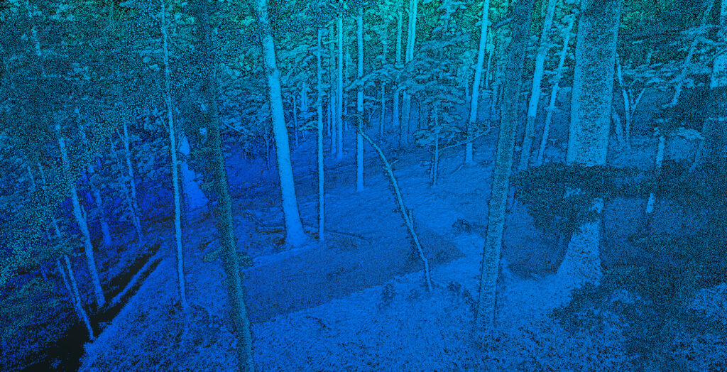
Using A.I., deep learning algorithms, and professional Lidar editing software, individual trees can be segmented and classified. This feature is extremely useful for end users who need to organize trees by grouping or performing analysis in a grid
or tile layout.
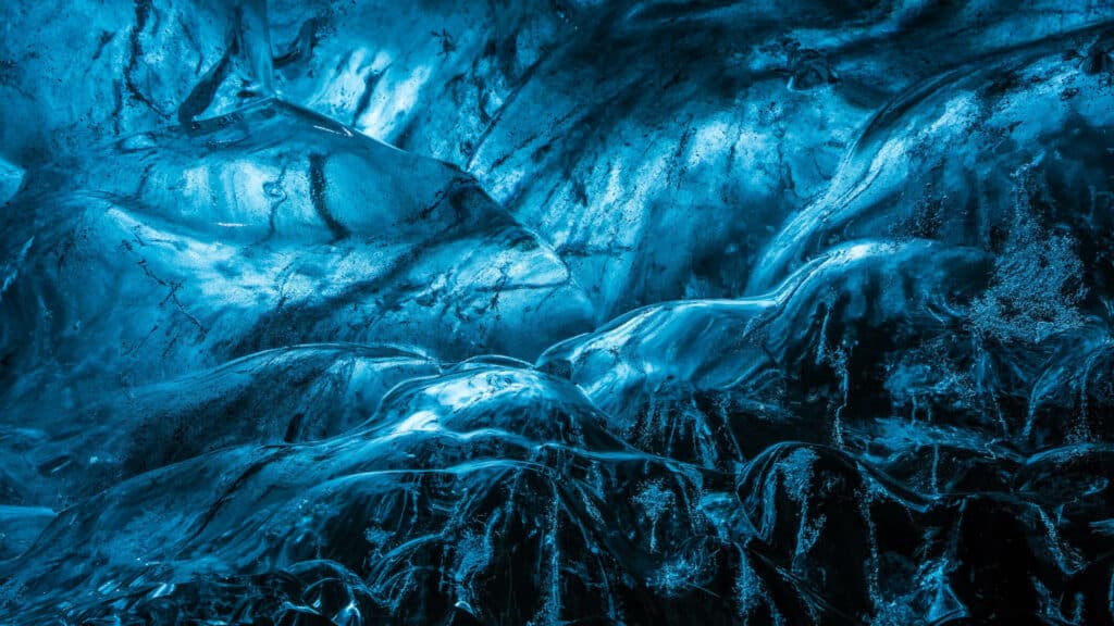
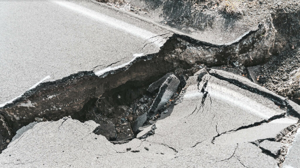
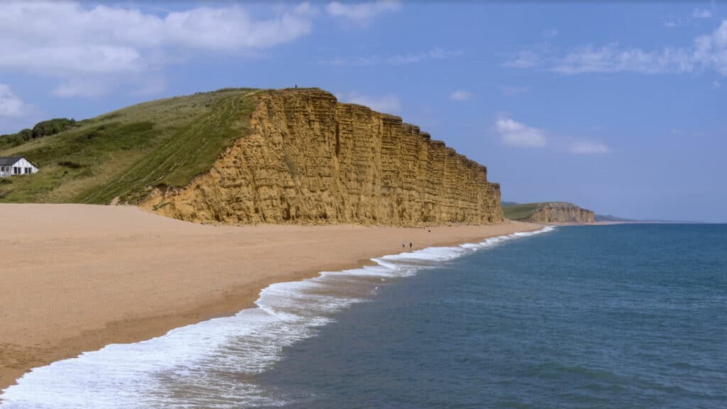
Have you ever wondered how geologists are able to create those detailed maps of the earth’s surface? Or how they are able to identify different types of rocks and minerals? It all starts with collecting data. In recent years, one of the most common ways geologists collect data is using Lidar. Besides forestry, Lidar data has been used for over fifty years to analyze geological phenomena that scientists can use to better understand the earth.
Floodplains are essential to our environment, providing a home for many plants and animals. These areas also have unique natural features that make them beautiful when intact but can be damaged by floods or other events. In order to not wash away these delicate ecosystems, accurate maps are required by planners so they know exactly what’s at risk before making decisions on future developments near rivers.
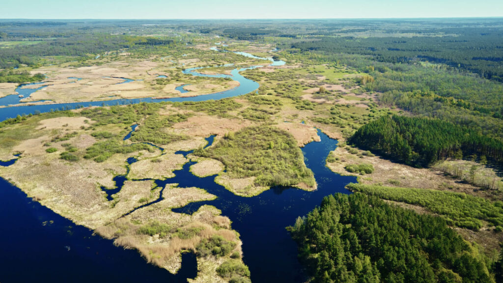
Drone Lidar technology is amazing and has so many applications in different industries. Its use can enhance results while opening the door to a new phase of remote sensing. In the forestry sector, conservation biology, and other related areas, drone Lidar technology can be used to create more accurate maps, leading to less time required on-site for planning, photos, hand measurements, and conceptual design. The list of cost savings and enhancements that drone Lidar technology creates is massive!
If you have a project that you think could benefit from drone Lidar mapping services, don’t hesitate to contact us. We would be more than happy to discuss your specific project needs and see how we can help.

Barry Gregg is a Lidar Data Engineering Consultant and Chief UAV Pilot with over 10+ years of experience in the utility engineering industry.
Barry holds an FAA Part 107 Remote Pilot Certification, having logged hundreds of lidar, photogrammetry, and industrial inspection flight hours. An expert in aerial, static, and mobile lidar data collection and processing, his passion for the drone industry centers on projects focused on integrating the latest in geospatial data collection and visualization technology with new and aging infrastructure systems.
Find out what you need to know when hiring a drone service, and learn about creative ways that different industries use drones to improve data, reduce risk, and achieve business objectives.