ConnexiCore Cloud Optimizes The Drone Data Workflow
Making It Easier To Store, Analyze, And Share Large Amounts Of Image Data
With Anyone...Anywhere...Anytime.
TURN AERIAL DATA INTO BUSINESS INSIGHTS
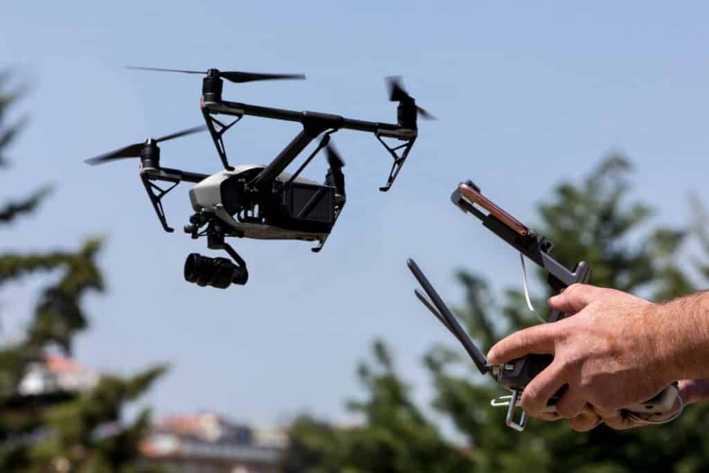
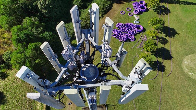
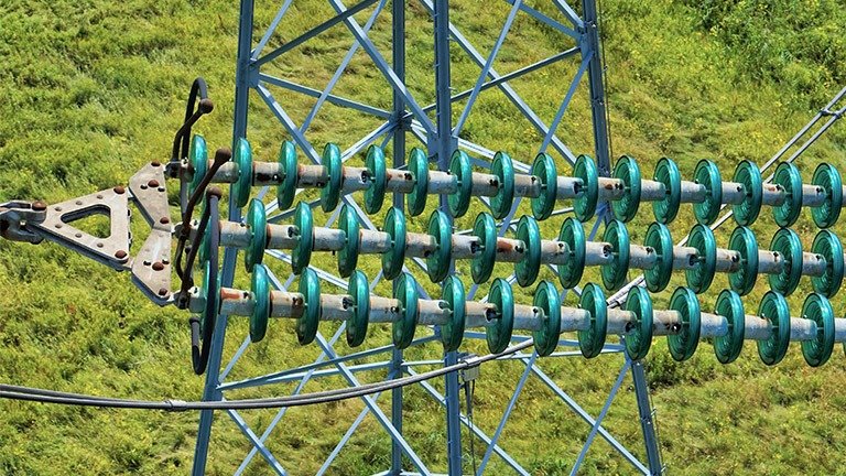
DRONE MISSION
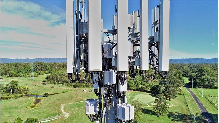
Fly to locations that were too costly or physically prohibitive and collect quality, actionable data that will allow your client and their staff to make informed decisions.
IMAGE DATA
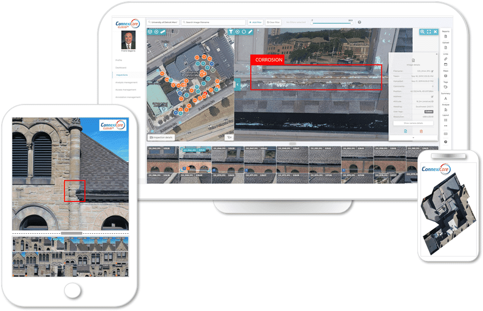
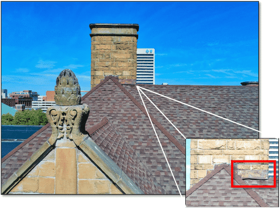
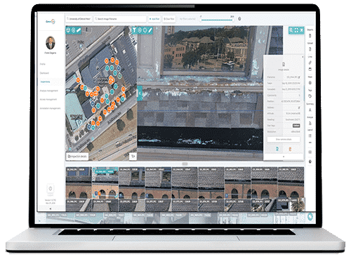
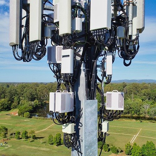
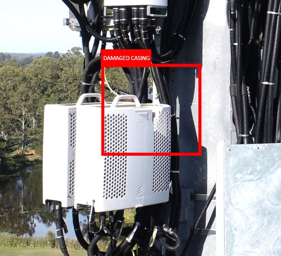
Upload geotagged images from your drone and filter captured results by type, size or location to get a full overview of the critical areas. Less important anomalies can be saved for later review. Create a customized database for structuring, recording and digitally tagging any types of anomalies (rust, hot spots, cracks, etc.) directly from drone images.
INSIGHTS
Repeatedly collect and analyze comprehensive imagery of all your inspection operations. ConnexiCore Cloud helps turn aerial data into actionable business insights, enabling you to improve the operations and increase the efficiency of your inspection workflow.
FINDINGS
Create reports of the condition of infrastructure and installations. You can use our strong analysis tool to pinpoint areas that need attention, now or in the future. And you can share the information easily across platforms with anyone you choose. ConnexiCore’s cloud-based platform helps you manage, process, view, analyze and collaborate around aerial data.
If you’re a drone pilot, or a company that uses drone data, then you know that inspections can generate thousands of images. They need to be carefully analyzed, securely stored, and easily shared. SD cards and hard drives fill up fast, and Dropbox has limitations. In addition, creating manual reports take a lot of time and work, and endless emails aren’t great for collaboration. These methods won’t scale as your drone activity continues to grow.
Now, there is a better way...and it’s perfectly designed for managing drone data.
SIMPLIFY YOUR COMPLEX DRONE INSPECTIONS
ConnexiCore Cloud makes it much easier, faster, and less expensive to manage and analyze the thousands of images generated from drone flights. By uniting the data, analytics, and workflow, it empowers organizations to take control and optimize their aerial inspection, data gathering and analysis processes.
ConnexiCore Cloud can process thousands of images from your job site, combining automated and manual processing techniques to create quality data deliverables.
Annotate anomalies directly on inspection images
Create a customized database for structuring, recording and digitally tagging any types of anomalies (rust, hot spots, cracks, etc.) directly from drone images.
A COLLABORATIVE AERIAL INSPECTION PLATFORM
Whether you are a drone company, or run an in-house drone program, we offer a range of user permissions so you can effectively manage, share, and collaborate.