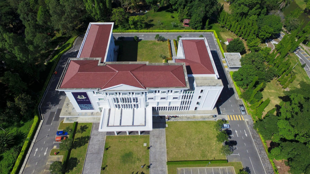
Whether it’s a single-acre strip mall, or an expansive 100-acre commercial retail development, drones can display aerial perspectives not generally observed from the ground. This can also benefit property condition assessment companies by reducing their inspection time when looking for anomalies that can sometimes be challenging to identify on foot. Also, aerial imagery can help interested parties assess the condition of a property, including the roof, helping to ensure structural integrity. Drones are a safer, faster, and more cost-effective way to inspect and make the pre-acquisition and pre-lease due diligence process more thorough.
Many large commercial real estate brokers are already investing in drone photography and video for marketing higher-end listings. Drone use continues to gain traction across smaller properties, depending on location. Many find the return on investment near 300% and higher, depending on the property and features.
Drones continue to increase productivity in both developing and constructing multi-family housing and increase developer capacity to manage properties on a national scale.
Drone technology can:
Construction project managers are shifting from old school “boots on the ground” progression monitoring and choosing to map their entire job site each week. This regularly scheduled aerial view is invaluable for tracking progress, inspecting for safety hazards, and keeping real-time data on every corner and interior of a site. Because drone maps are geotagged, it is even possible to take basic area measurements and estimate stockpile volumes for real-time decision-making. Drone data can also be overlaid with other site data or imported into industry software for more advanced management and planning.
Find out what you need to know when hiring a drone service, and learn about creative ways that different industries use drones to improve data, reduce risk, and achieve business objectives.