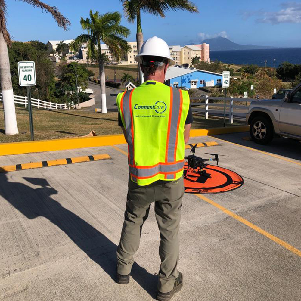
In recent years, insurance companies have been widely embracing drone technology. Drones are invaluable at all stages of the insurance lifecycle. They can be used to gather data before a risk is insured, to help in preventative maintenance, and to assess damage after an event.
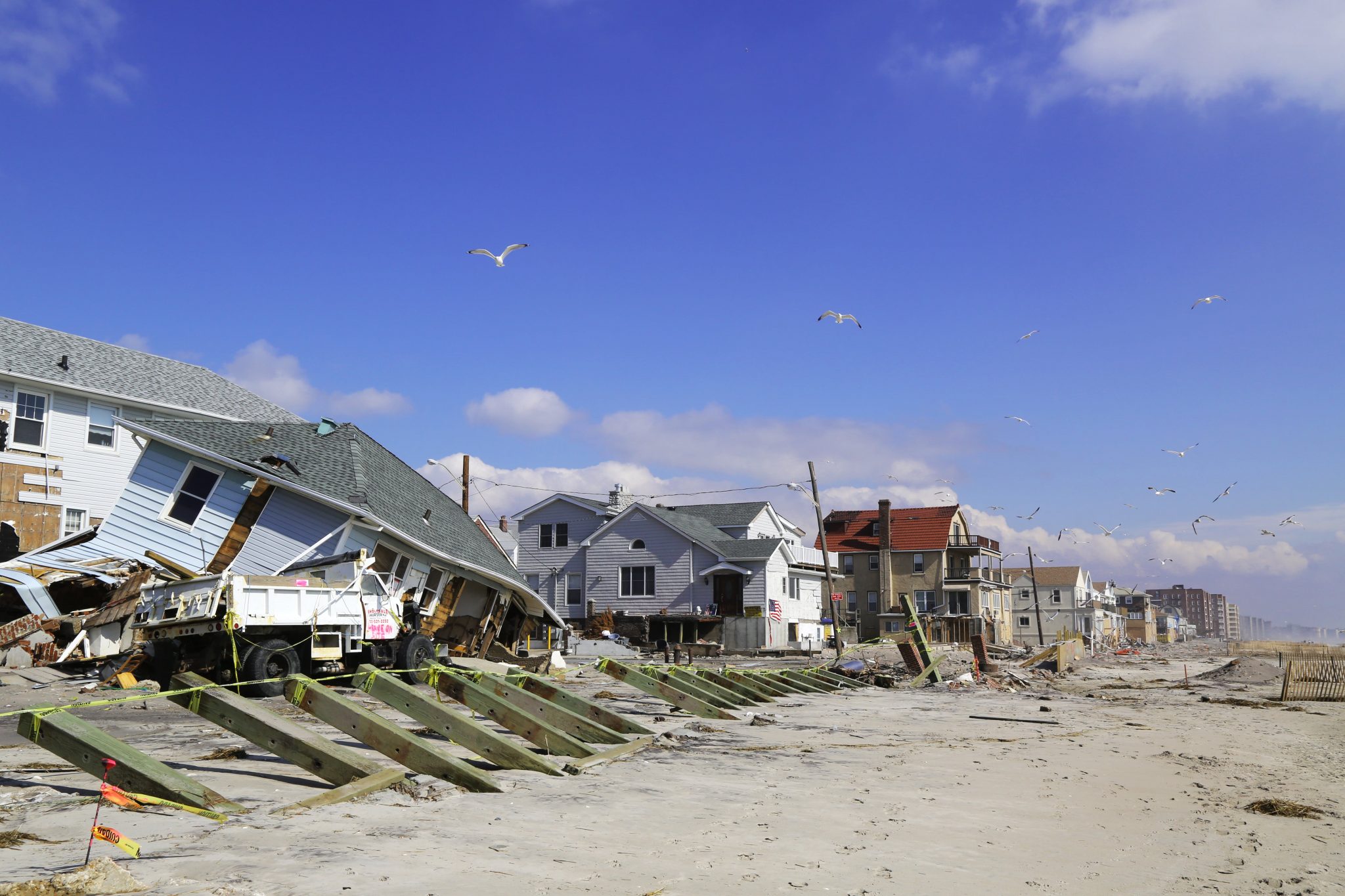
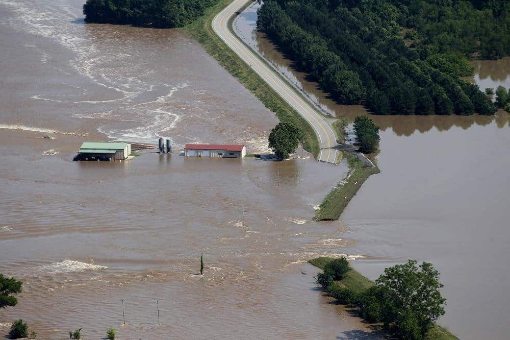
Images of the property to be insured can be obtained prior to providing coverage. Spurred by catastrophic damage from recent hurricanes and other weather events in the United States alone, drones have been given an international stage to truly showcase their effectiveness.
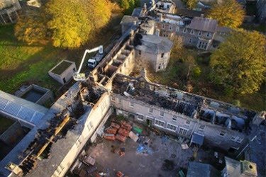
In the wake of these disasters, drones can be deployed not just for insurance companies to help speed up claims, but also for search and rescue efforts. Using a drone to inspect a building after a loss, adjusters and underwriters can obtain the information they need in a fraction of the time it would have taken before. In addition, drones can be operated at a much lower per-hour cost than manned inspection vehicles and offer the ability to collect data on a pre-programmed repeatable track, providing consistency in the inspection data and process.
INSPECTION EXAMPLES
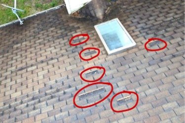
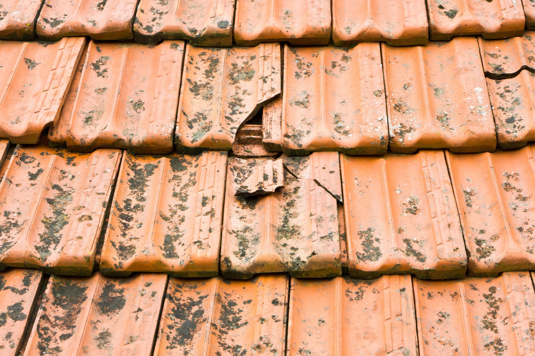
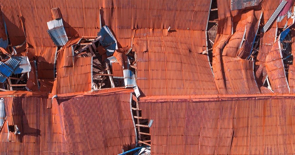
Roof Damage
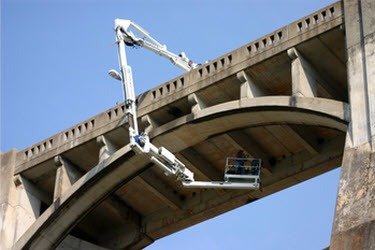
Bridge Infrastructure
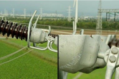
Utility Lines
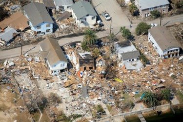
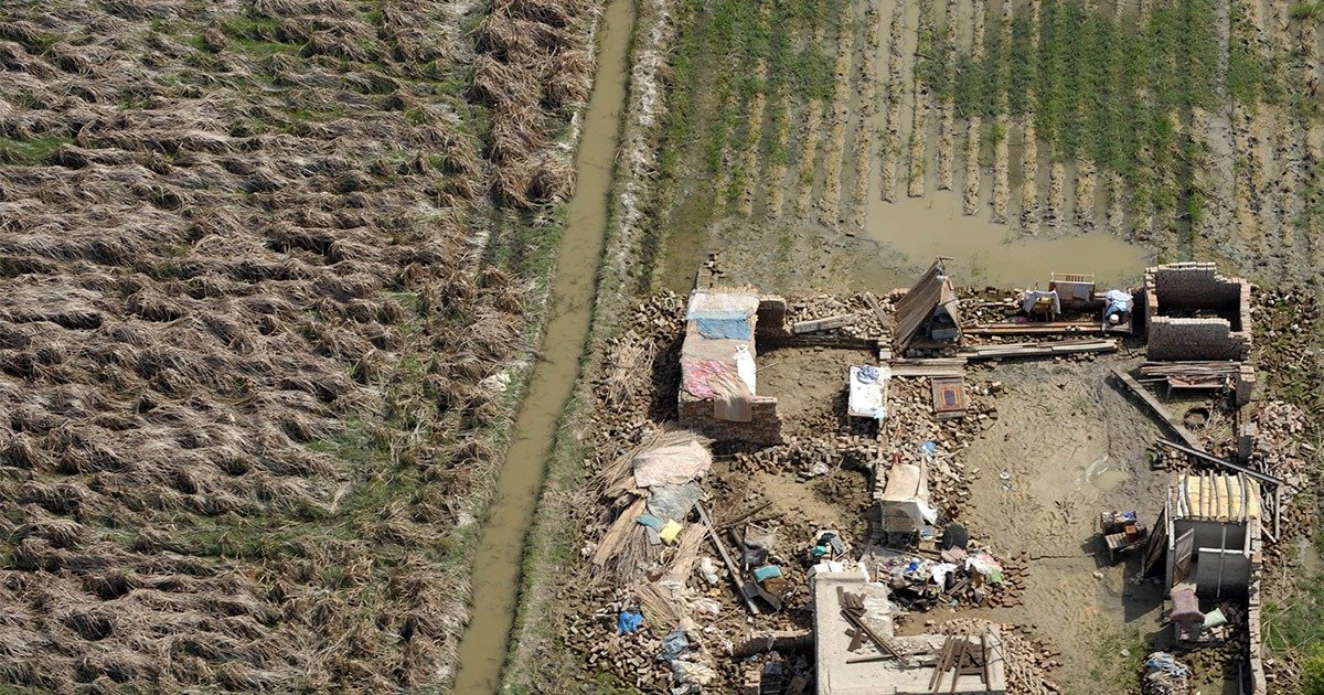
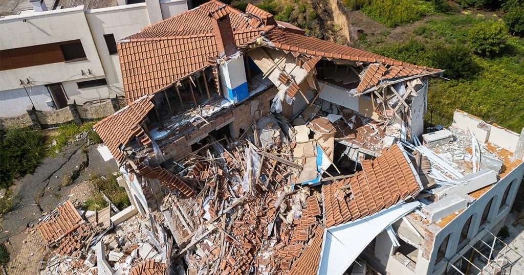
Natural Disaster
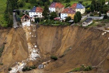
Sinkhole
Fire Damage
ROOF INSPECTIONS
Drone mapping is a powerful new tool for inspections. A thorough mapping flight allows you to capture hundreds or even thousands of high-resolution images of all four vertical facades of the structure you are inspecting. Additionally, images capture not only the finite detail of all vertical and horizontal surfaces but each image includes geo-referenced data location for easier analysis. Back in the office, or out in the field, it’s easy to analyze these highly detailed building survey maps, make measurements, and share comments to help you make better and quicker decisions. Drone mapping gives insurance companies a fast, easy way of accurately documenting the scene, preserving key details while allowing the process of clean-up and reconstruction to begin as quickly as possible.
DISASTER CLAIMS AND REPORTS
Drone mapping is a powerful new tool for inspections. A thorough mapping flight allows you to capture hundreds or even thousands of high-resolution images of all four vertical facades of the structure you are inspecting. Additionally, images capture not only the finite detail of all vertical and horizontal surfaces but each image includes geo-referenced data location for easier analysis. Back in the office, or out in the field, it’s easy to analyze these highly detailed building survey maps, make measurements, and share comments to help you make better and quicker decisions. Drone mapping gives insurance companies a fast, easy way of accurately documenting the scene, preserving key details while allowing the process of clean-up and reconstruction to begin as quickly as possible.