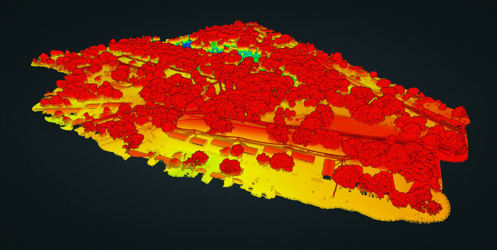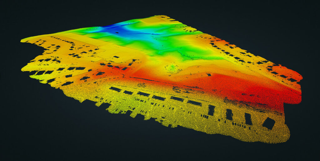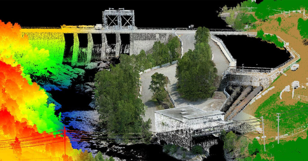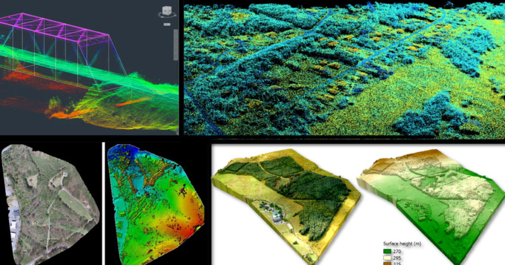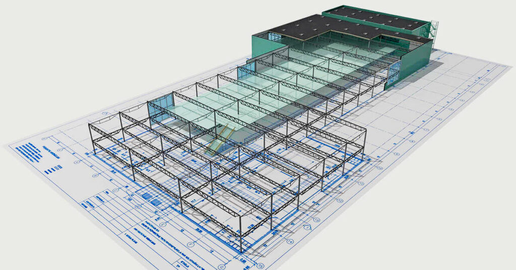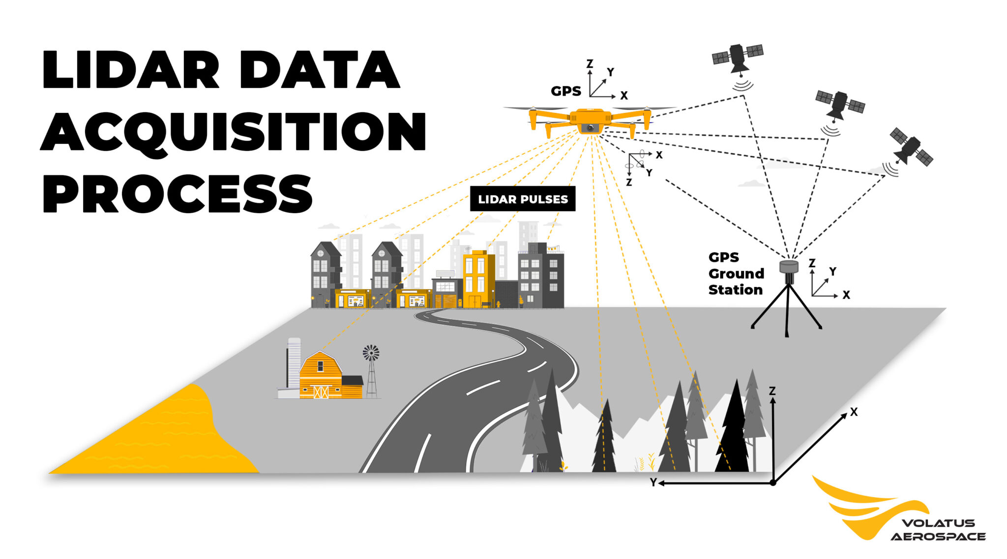
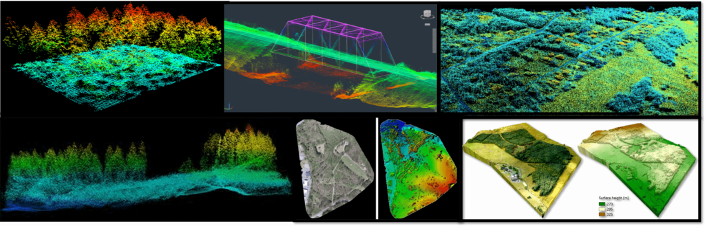

Lidar plays a pivotal role in civil engineering and construction projects, providing accurate surveying and mapping of land, buildings, and infrastructure. By swiftly generating precise 3D models, lidar technology reduces surveying time and costs, while supplying crucial data for efficient site planning and design.

Mining and mineral exploration companies benefit greatly from lidar's capabilities. With its ability to accurately map topography, identify geological features, and determine the location and volume of mineral deposits, lidar assists in optimizing mining operations, leading to enhanced extraction processes and cost-effectiveness.

The agricultural industry increasingly relies on lidar for monitoring crop health and maximizing yields. By providing comprehensive data on crop height, density, and structure, Lidar empowers farmers to make informed decisions regarding irrigation, fertilization, and harvesting, resulting in improved productivity and resource management.

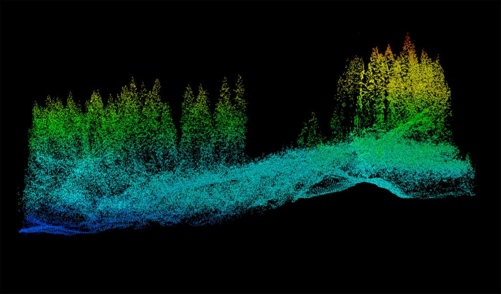
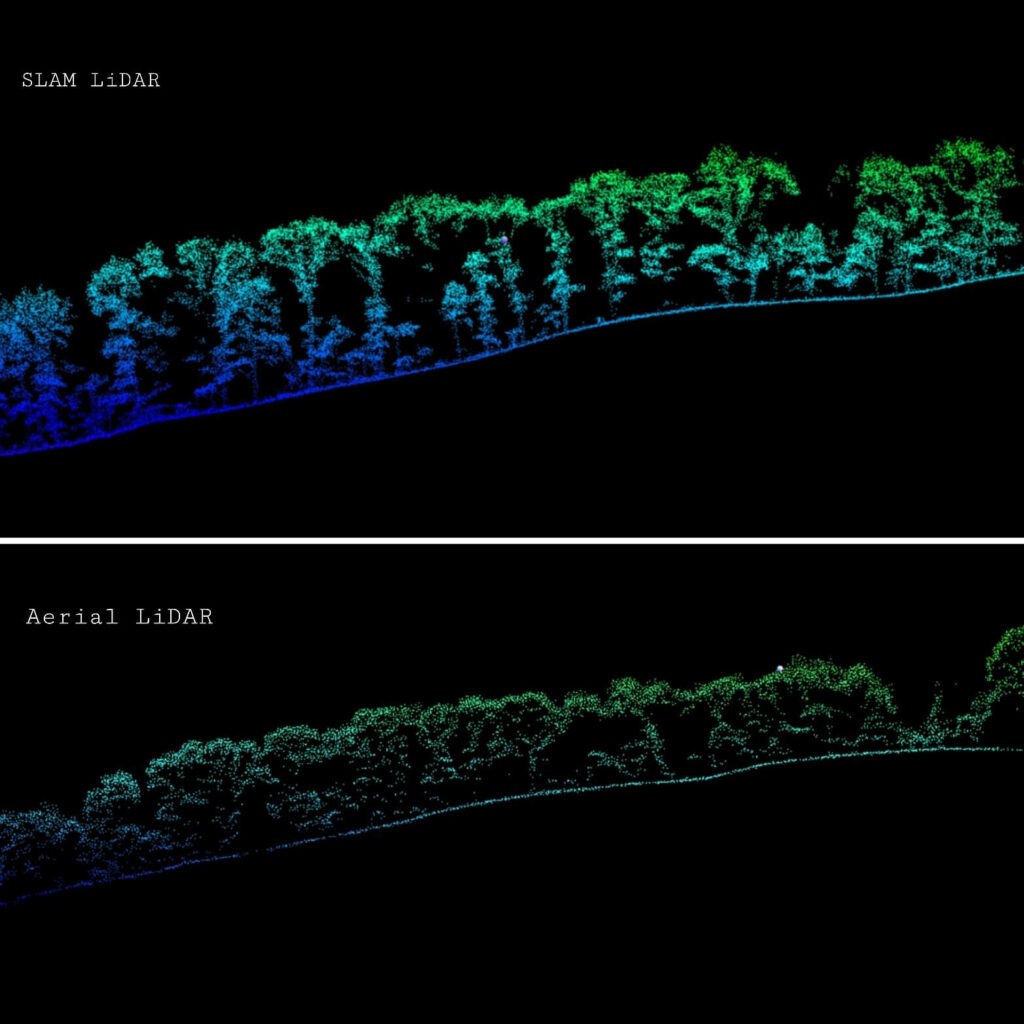
Lidar plays a vital role in forestry and land management applications, facilitating precise measurements of forest inventory, monitoring forest health, and aiding in restoration efforts. By delivering accurate data on forest structure, topography, and vegetation density, lidar guides land managers in making informed decisions pertaining to resource management and conservation.

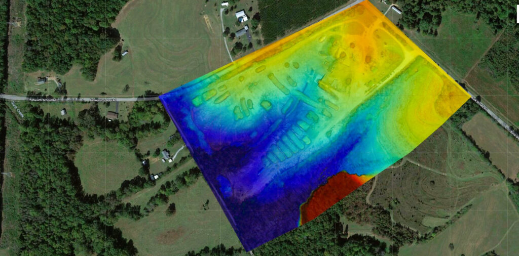
Lidar proves invaluable to archaeologists and cultural heritage experts, enabling the creation of highly detailed 3D models of archaeological sites and landscapes. This advanced technology unveils important insights into the past, aiding in the identification of previously unknown sites and contributing to the preservation of cultural heritage.

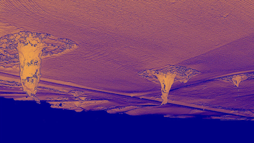
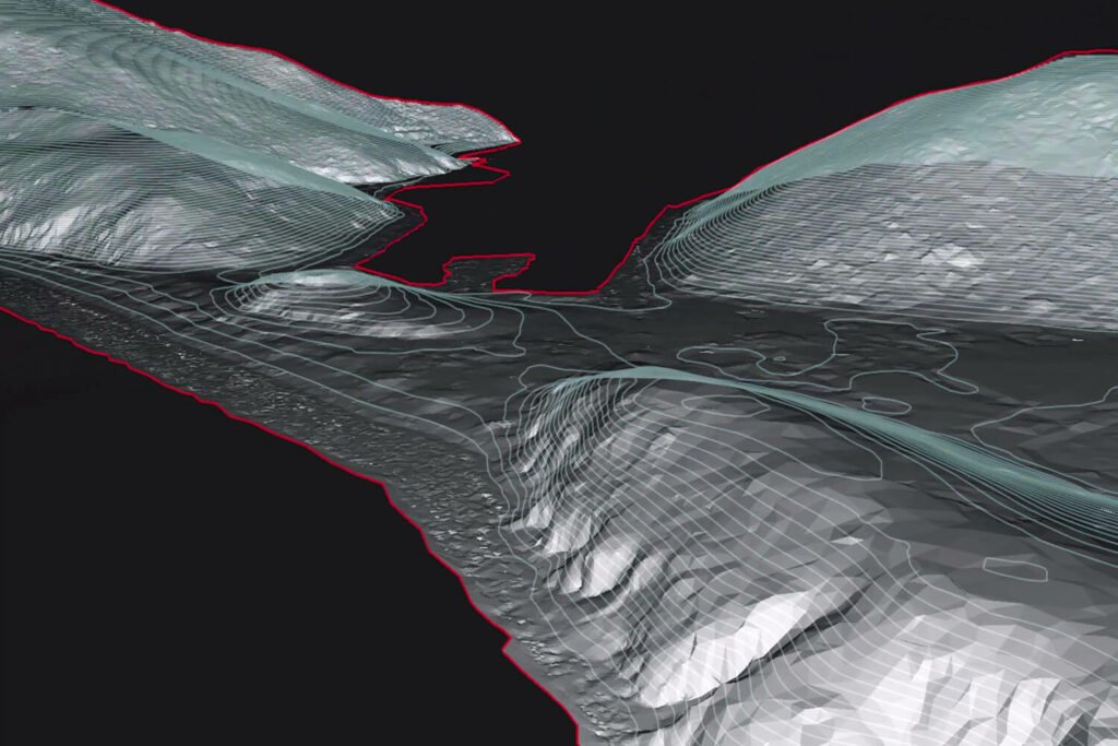
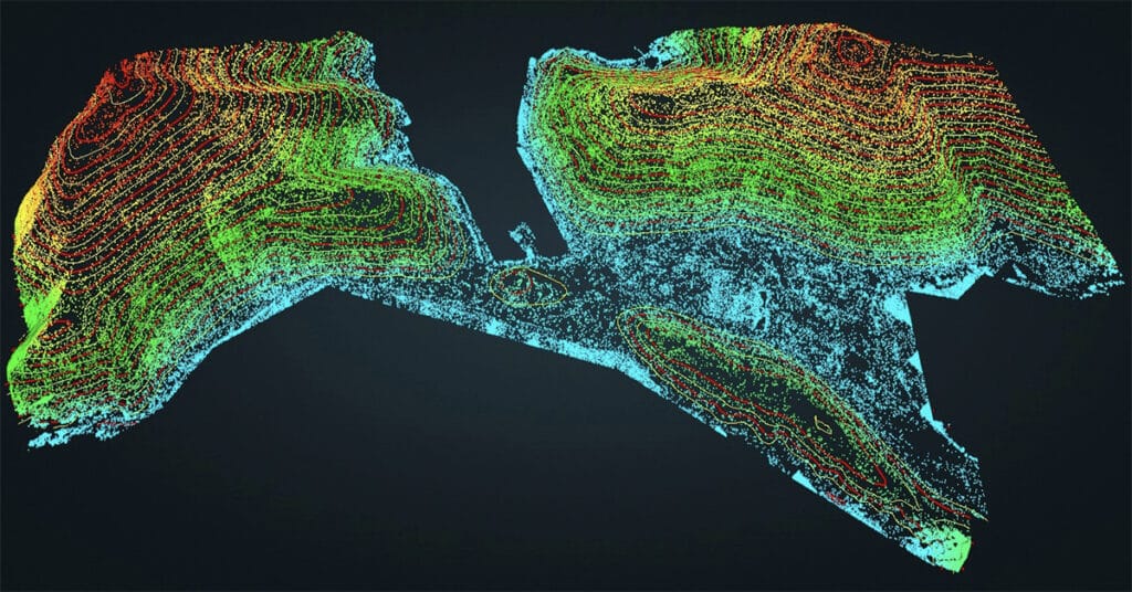
Lidar finds extensive usage in geology and earth sciences, facilitating precise mapping of terrain, geological features, and topography. By providing accurate information on geological formations and land features, lidar empowers scientists to make informed decisions related to resource management, conservation efforts, and effective disaster response.

Lidar is increasingly employed for environmental monitoring and conservation purposes. By providing accurate data on vegetation density, land use, and ecosystem health, lidar assists conservationists in identifying areas requiring restoration and formulating strategies for the protection of natural resources.

Lidar technology is essential in architecture and heritage preservation, allowing for the accurate measurement and documentation of historic buildings and monuments. By capturing detailed information on architectural features, building materials, and structural integrity, lidar aids experts in planning restoration and preservation endeavors, safeguarding architectural heritage.