
To help solar companies reduce costs and increase energy production, Volatus partnered with Raptor Solar™ an Artificial-Intelligence (AI) enabled software solution. We process thermal and color imagery generated from aerial drone solar site inspections and/or manned aircraft. Every image is analyzed with a state-of-the-art machine learning algorithm, and anomalies are detected, classified, and localized.
With our nationwide network of experienced FAA certified drone service operators and Raptor Maps software, we can support your solar PV system via aerial inspection at any location in the United States. Volatus will coordinate the operation with your dedicated project manager and fly the mission, analyze the data, and return a comprehensive and actionable report that will dramatically improve your decision-making process.
AI-powered software allows solar PV systems to adopt drone technology to review and processes aerial images taken of the solar PV system and then classifies and prioritizes 100% of all anomalies and provides the exact onsite location of each anomaly to be addressed. We support solar companies that own, manage, and maintain assets and have internal drone programs or need aerial inspection services, allowing any PV system to maximize productivity. We’re proudly working to service the solar industry to efficiently scale by utilizing aerial thermography, artificial intelligence, and thermal data to increase solar production and reduce costs.
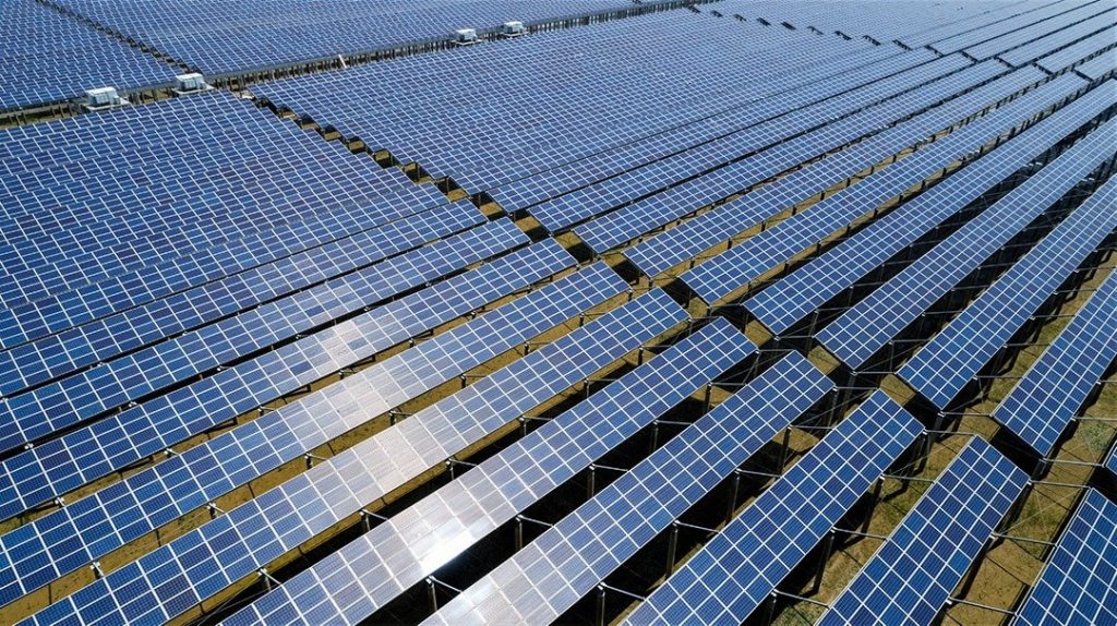
Drone technology offers many advantages for rooftop solar panel inspectors as well as operators of expansive solar farms. Combining drones and Raptor Maps software helps plan, monitor, and track as well as delivering numbers and percentages on the current state of your project. Remotely oversee progress to ensure benchmarks align with project deadlines. Deliver metrics on the current state of your project to management and stakeholders.
Post-construction clearly view temperature anomalies on thermal images by scanning installed solar panels during normal operation across large areas within a short time frame, allowing problem or suspect panels to be isolated quickly, and readying them for remedial action to keep energy production at optimum levels.

Aerial inspections of rooftop sites enable teams to properly plan installation and remotely confirm project progress. View obstacles, accurately plan to measure missions, and have a precise base inspection map.
The benefits of incorporating aerial inspections into your planning and maintenance workflow include:
Utilize CAD compatible files to accurately plan rooftop PV installations. Import the files into engineering and
design software to easily update the rooftop base map with current conditions.
Includes all standard level files along with the annotated dimensioned AutoCAD (.dwg) file. Easily receive the exact measurements of boundaries, obstructions, and offsets.
Find out what you need to know when hiring a drone service, and learn about creative ways that different industries use drones to improve data, reduce risk, and achieve business objectives.


