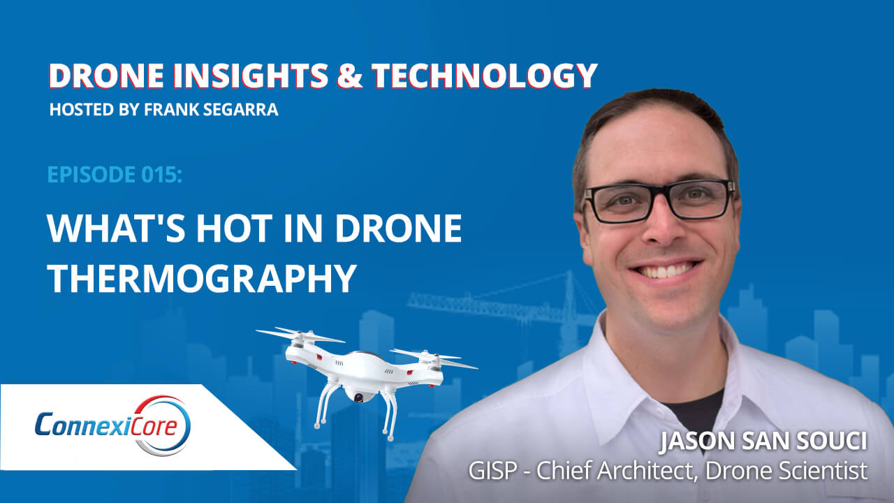
GIS Scientist and Level 3 Thermographer Jason San Souci takes us on an in-depth exploration of both the art and science of thermography. He walks through the three levels, and uses some great examples of how to combine measurements with experience to get the best outcomes.
He also shares some great stories about his time in an Afghanistan combat zone, chimpanzee habitat mapping with Jane Goodall, neurodiversity in the drone industry, the potential positive impact of BVLOS, and much more.
Jason San Souci has been a remote sensing and GIS scientist for 19 years. He’s a graduate of the US Air Force Academy with a Master of Engineering in Space Operations from the University of Colorado. He’s a Certified GIS Professional, AUVSI Certified TOP Remote Pilot, Level 3 Thermographer, GISCorps volunteer and “Do You Know Drones?” Podcast Host. At Juniper, Jason is Chief Architect helping the company define and implement an Analytics and Product Strategy. In his spare time, he founded a nonprofit preparing neurodiverse students for careers in the drone industry and sits on several industry advisory boards.


Find out what you need to know when hiring a drone service, and learn about creative ways that different industries use drones to improve data, reduce risk, and achieve business objectives.
