
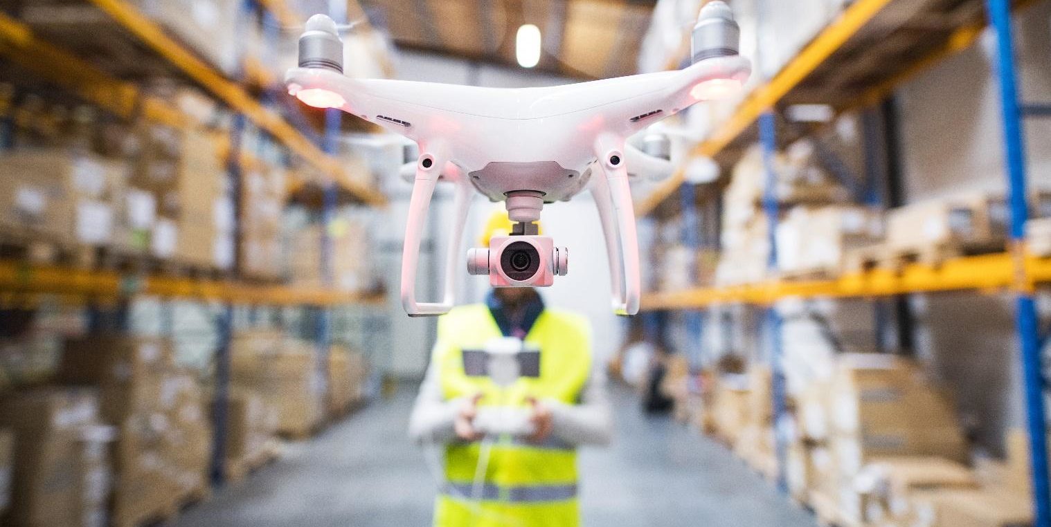
As the CEO of a drone services company, I’m encouraged by how commercial drone technology is being used more and more to solve existing business problems that most people never considered problems.
Over the last several years, we’ve seen autonomous flight technology enhanced even further with artificial intelligence and machine learning. I am beyond fascinated over where the possibilities can go.
Drones can present some noteworthy challenges from a societal perspective, but my core interest revolves around the business applications that surround this technology. Though a drone is basically an aircraft, that’s not how I think about it.
Aerial photography is just the start
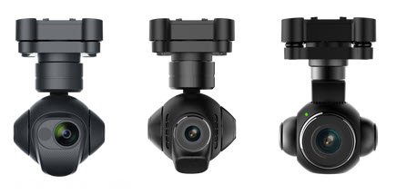
When I think about a drone, my initial thought is…it’s a damn good camera! Most drones have a three-axis gimbal and can be mounted with a high-quality zoom lens, advanced optics, and an accurate sensor that’s probably more superior than most smartphones. Professional commercial drones typically shoot 4K video as raw files, with frame rates of 120-frames per second and HDR (High Dynamic Range). So yes…it’s a damn good camera.
Drones represent a stacked technology platform
But perhaps even more interesting is that a drone is really a stacked technology platform.
What I find really cool when you boot-up a drone is that first noise that you hear, the noise are the fans spinning up to cool the microprocessor running this device. There’s an awful lot of onboard heavy lifting (no pun intended) taking place to be able to control tracking GPS and stabilizing flights.
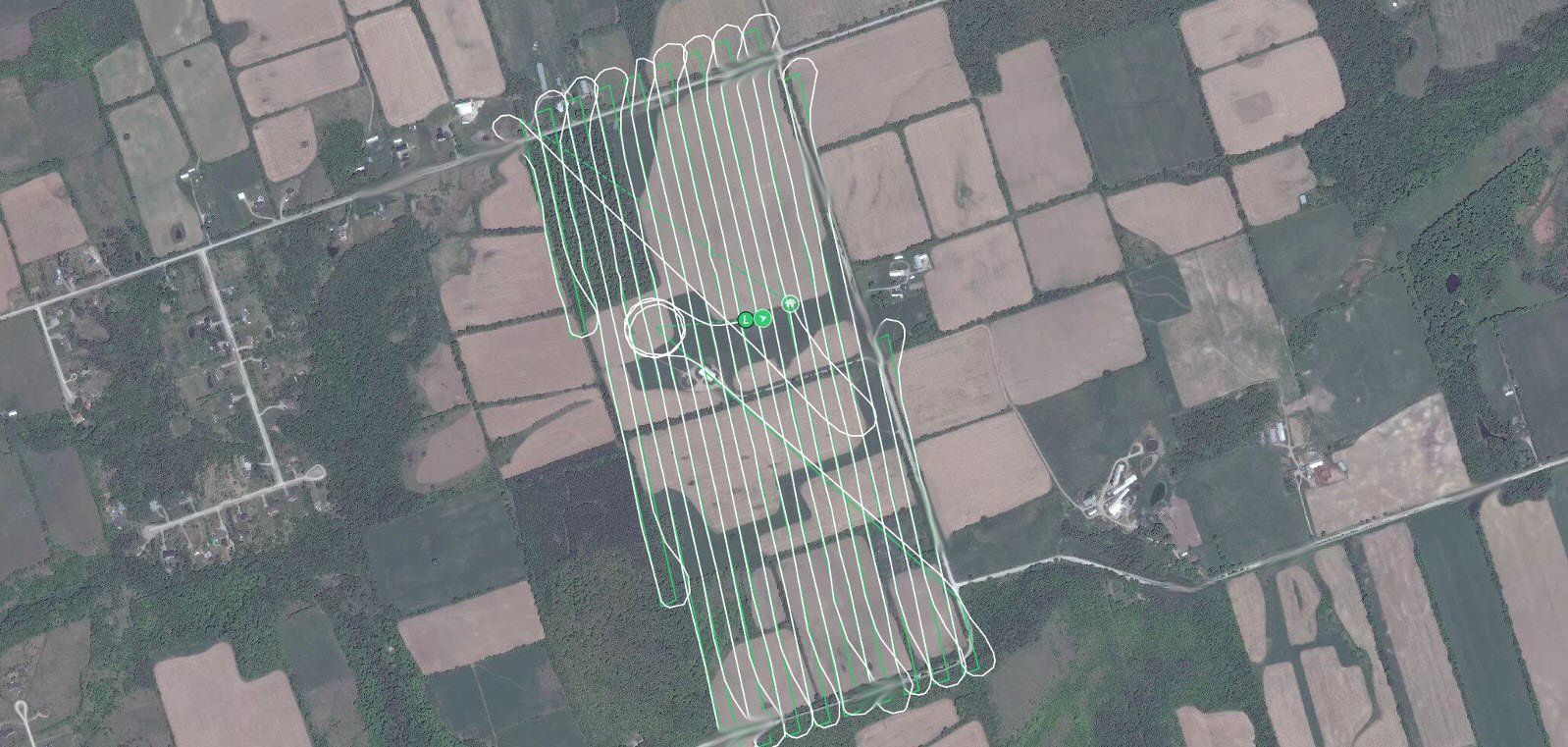
For this device to be able to follow pre-programmed trajectories autonomously (utilizing mission-building software such as Drone Deploy) is mind-blowing. Most people consider just the airframe (better known as “the drone”), but it’s really only 50% of the technology platform.
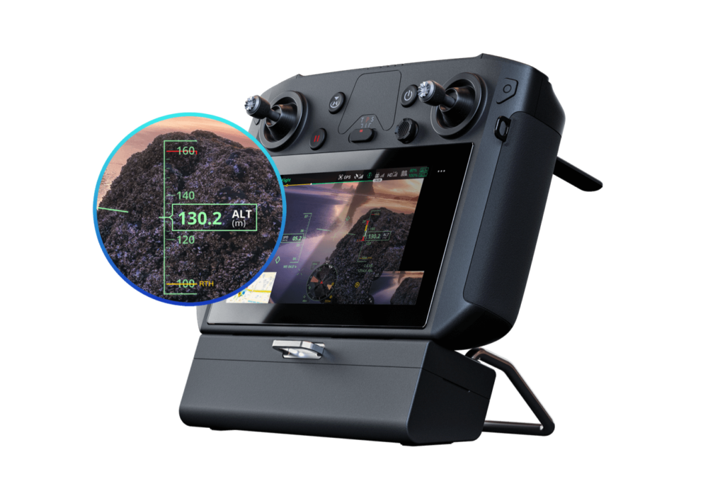
The remaining technology is the controller, which is an intelligent device that’s cradled in the grip of your hands. Most controllers are designed to to have your smartphone or tablet plugged into it, extending the capability by leveraging its processing power. The phone also provides internet connectivity, which provides access to hundreds of cloud technology applications, creating a quasi end-to-end computing stack.
The impact of drone aerial data on industry
Among all the industries and activities where object detection is poised to make a big impact, drone services are undoubtedly near the top. With advanced techniques such as object detection, there really is no limit as to what they can do. Aerial data collection and the valuable business insights derived from these unmanned aerial systems are rapidly improving dozens of industry workflows by automating the data extraction process by using both human and artificial intelligence integration.
With more and more businesses relying on location data or “geo-tagging” to optimize their operations and planning, the commercial drone services market continues to be on the cutting-edge. Drone mapping service providers who continue to embrace connecting these core technologies will become the stewards and thought leaders for geospatial aerial intelligence for years to come.
Diverse requirements for drones
Business and industries in need of geospatial analytics are increasingly varied with diverse requirements.
Here are just a few examples:
- Agricultural farmers need to know how many of their crops are under-productive as well as crop count for harvest yield.
- Ranchers need to know how many heads of cattle, pig, or even horses survived after a flood.
- The insurance industry needs to know how many roofs and structures were damaged during a storm and to what extent.
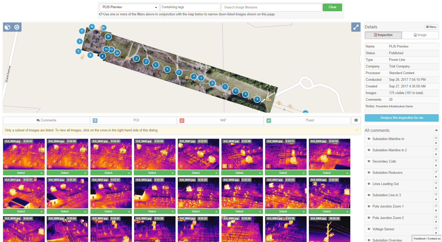
- Utility and Energy companies need to know how many transmission lines are down and where are the hot spots in a city.
- Oil and Gas companies need to detect oil spills and gas leaks to protect the environment and mitigate years of ecosystem damage.
All of these businesses need to tag and archive the location of each of the objects they are tracking. They all share a common metric, one that can be the difference in their business bouncing back or being completely wiped out. That metric is time.
After a natural disaster, it is critical to assess the damage quickly for monetary purposes. Even more importantly, it can be critical to human survival in many cases. The applications and use cases for artificial intelligence driven technologies are virtually endless.
Drones can exceed human limitations
Let’s explore drones and aerial data collection purely from a workforce multiplier perspective.
Drones entered the commercial space as exciting, recreational toys.They have slowly transformed, though, into a multi-billion-dollar industry with countless commercial applications ranging from asset inspections to military surveillance.
Artificial Intelligence, with its recent advancements and disruptive technology, has been a game changer for the UAS industry. AI has opened doors to possibilities that were unimaginable just a few years back.
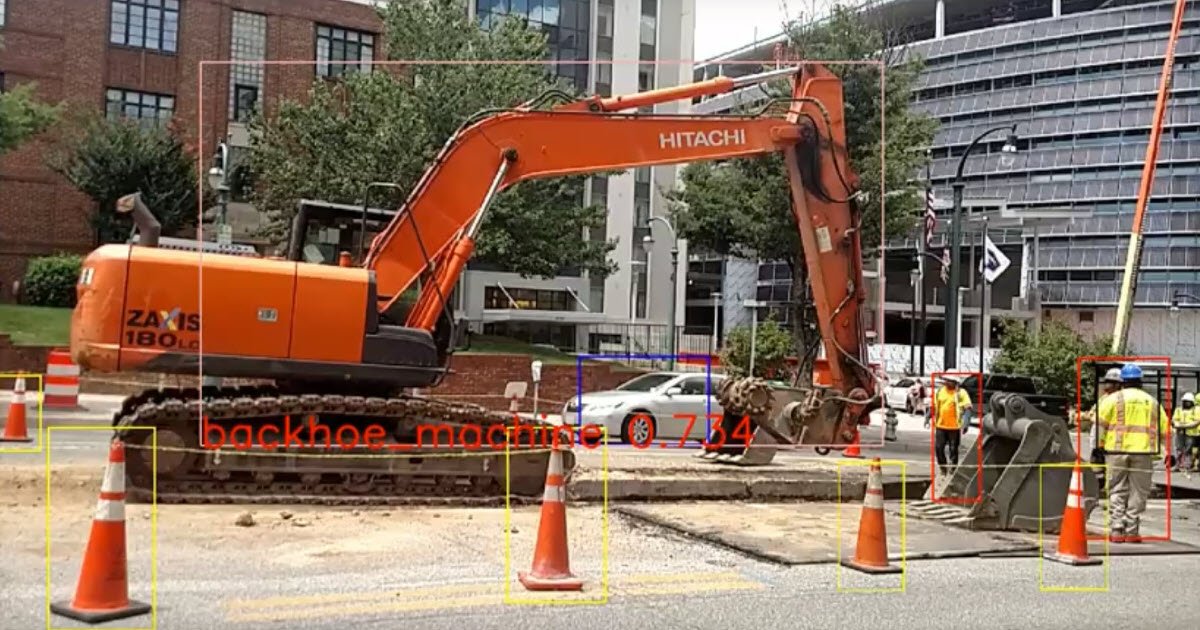
Drones can serve multiple purposes, leveraging a range of technologies such as visual search, image recognition, object detection and tracking. Drones equipped with AI-powered technology can detect objects faster and more efficiently than a human being. With the advancement of algorithm-based machine learning, drones can cover large areas and spot thousands of objects in the blink of an eye.
Drones can improve data accuracy
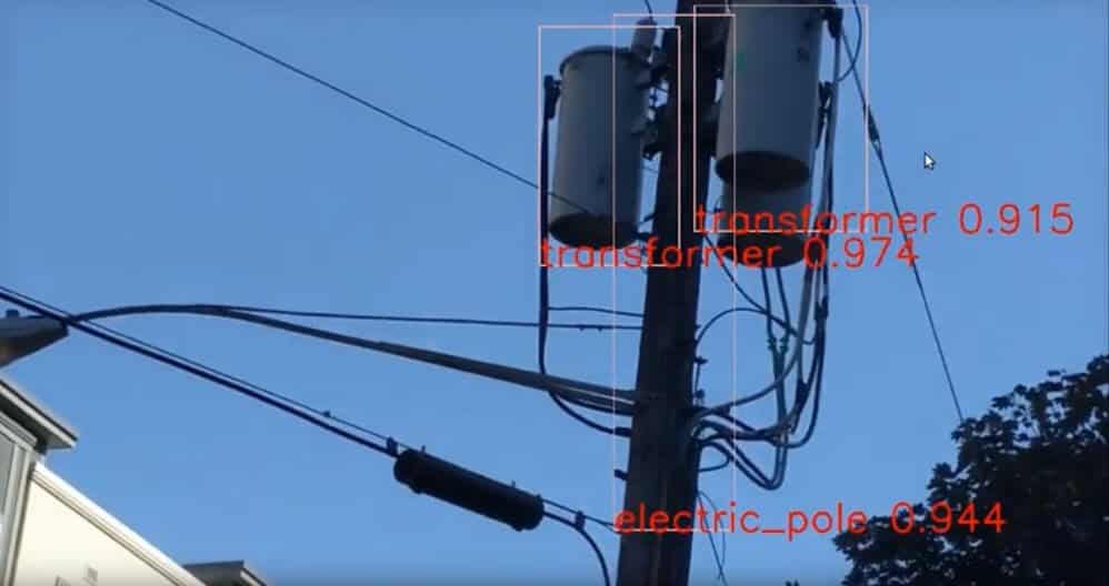
In addition to the scale at which it can operate, AI can also improve detection accuracy. AI-enhanced drones mimic the human visual search mindset to detect and identify people and objects in much the same way that humans do.
Even the most meticulous person is bound to make mistakes while carrying out monotonous manual detection over large scale. This is where automation helps by learning features, performing the same steps accurately every time they are executed. This allows the human expertise to focus on more challenging and rare features.
Drones can also facilitate the delivery of mapping and cartography services (the science of making maps). Building maps might require appointing a specialist or an expert team to get into an area impossible to explore or dangerous to humans. But a drone-based solution—fueled by AI—will enable devices to work on their own. They can facilitate creating a damage detection map by scanning roads, bridges, and construction sites, delivering all the data into the local data processing center.
Drones are a workforce multiplier
Until recently, aerial data collection consisted of manually extracting image data features, anomalies and location. Thought it was better than ground truthing, this process was time-consuming and costly to scale up.
While the process could be automated by hiring highly specialized professionals—such as machine learning experts, computer vision specialists and data scientists—this is not a feasible investment for small and medium-size drone service businesses. A cost-effective solution to automate the feature extraction process and increase the geospatial analysis production capacity is to use AI object detection.
Not only can AI improve the accuracy of a project, but it can also dramatically reduce the time-to-delivery. The entire workload of mapping, detecting and extracting data can last up to days, if it’s being done manually. Instead, automated machine learning detection can execute faster with the power of artificial intelligence, shortening the delivery time from days to minutes. Objects such as trees, animals, solar panels, shipping containers or buildings could be simple algorithms to craft for object detection. You can then combine what program you need with what situation you need to tackle by using automated software such as kubernetes to keep on top of workload outputs.
Real-world examples of drone-based AI object detection workflow
The same heavy workload being repeated with every project requires more cost and labor intensity to deliver the results in time. In contrast, once created , automated detection can be executed again and again, without additional cost at a much faster pace.
By integrating AI in the process, the overall timespan can be reduced which translates directly into cost savings. You can also export the detections as georeferenced layers in various formats that are optimized to match your workflow on any GIS software.
Some examples and use cases for UAS object detection include:
Roofs
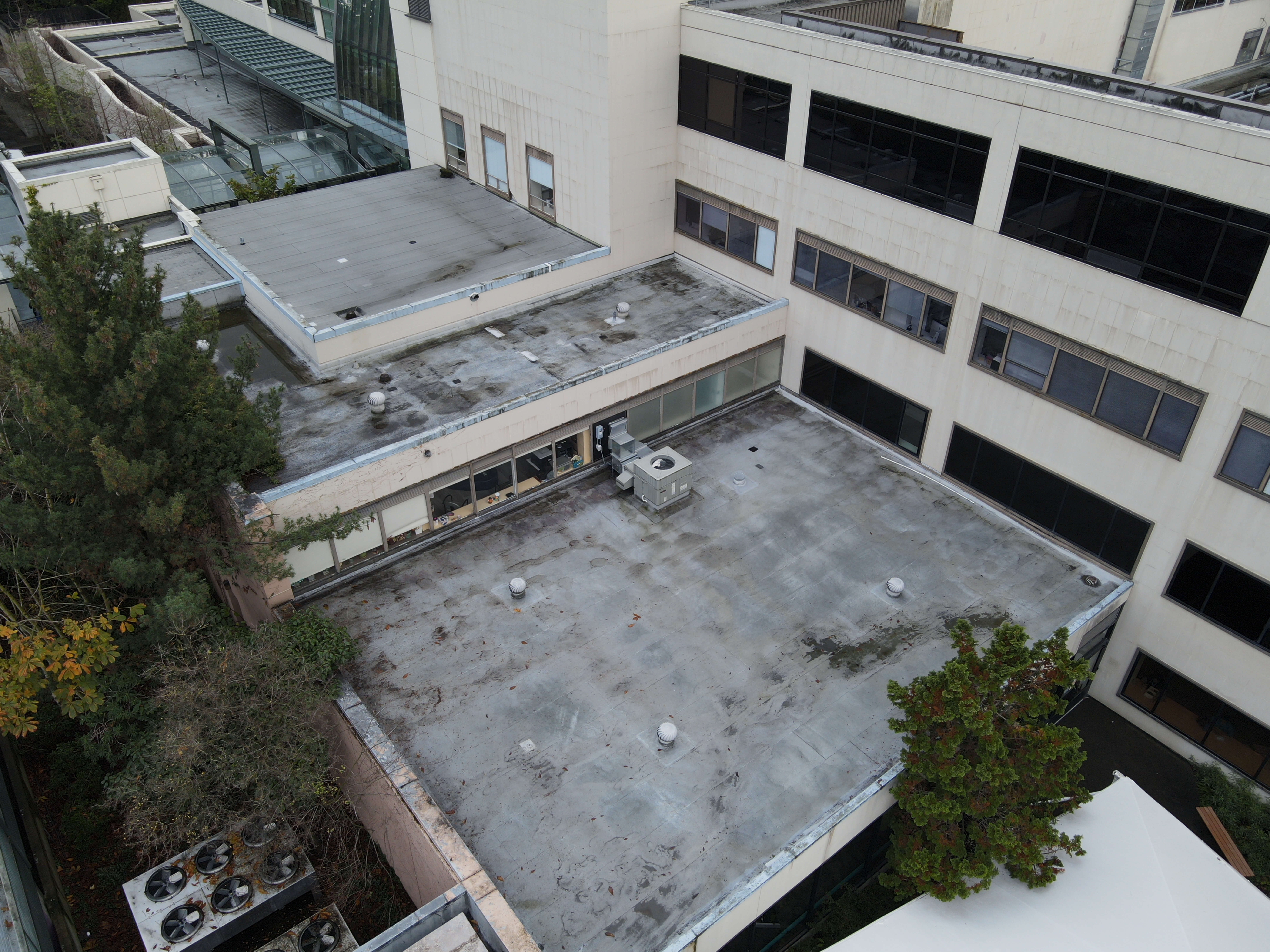
Up-to-date detections give local governments and insurance companies insights on discrepancies on declared values and a correct parameter.
Vehicles
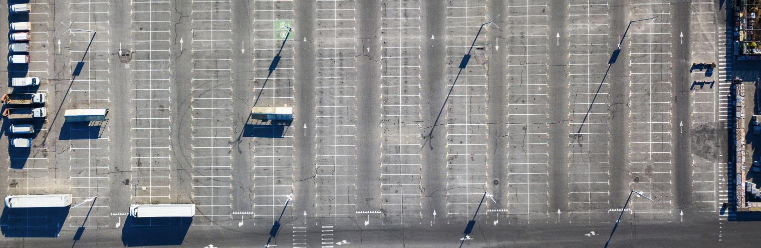
Local governments can use drones to plan parking infrastructure and road network adaptations. Real estate agencies can use drones to spot and assess the most frequently visited areas.
Roadmarks
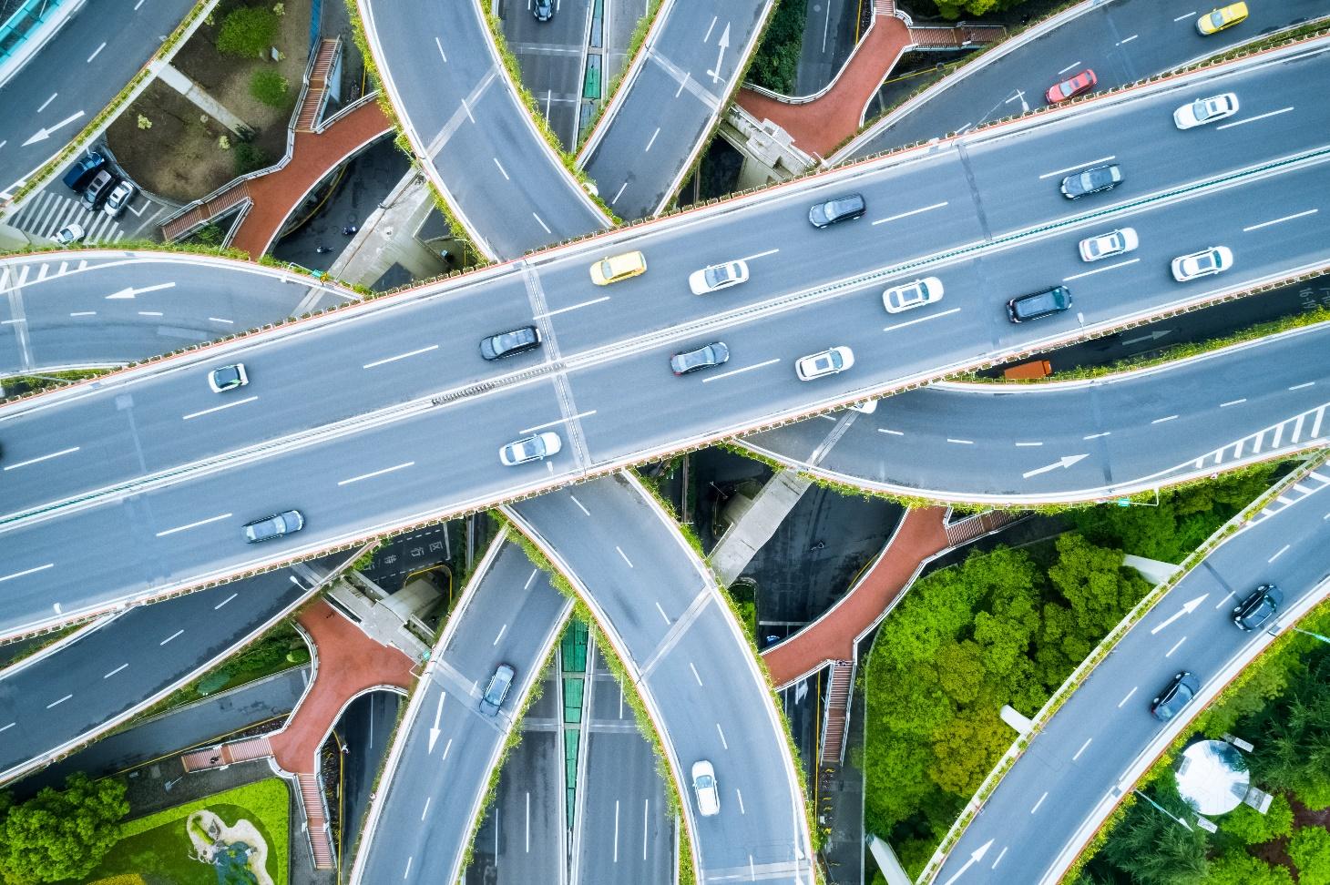
Up-to-date detections provide key insights to local infrastructure and traffic agencies or insurance companies when analyzing the geographic prevalence and distribution of traffic accidents. Moreover, this supports an efficient maintenance planning of road marks.
Solar Panels
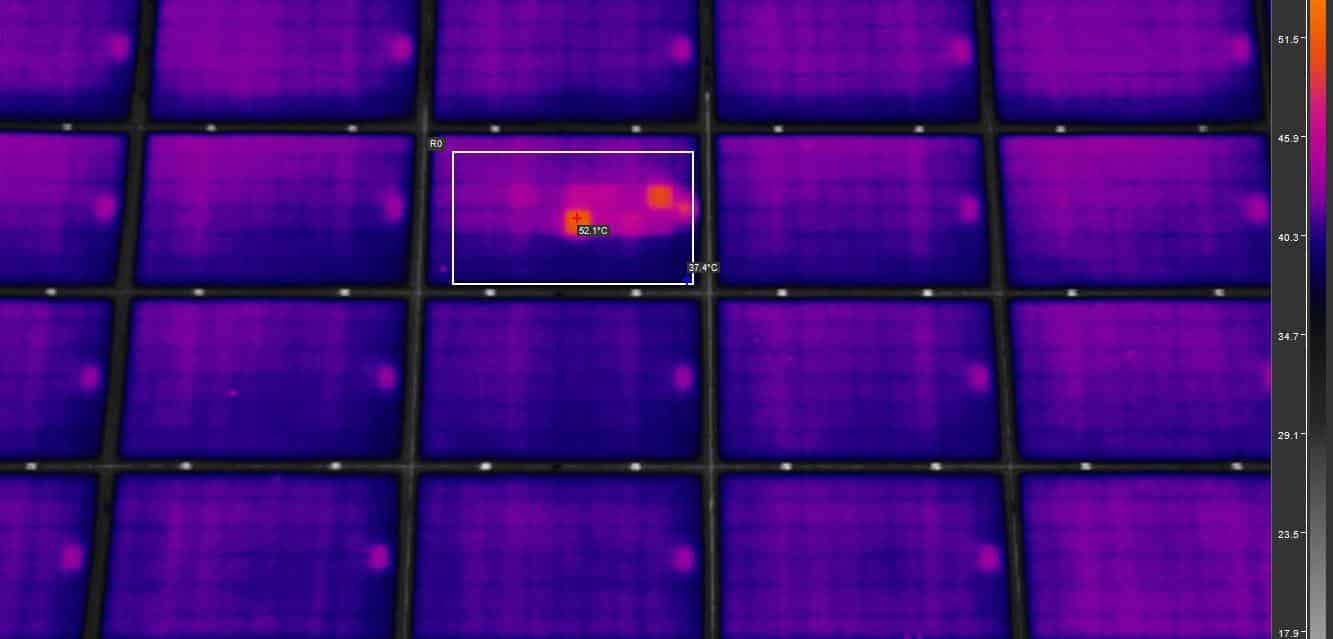
Determining solar panel prevalence and geolocation can unlock key market insights for energy companies and solar panel manufacturers. Optimized management of the supply and demand of renewable energy requires also up-to-date information on the solar panel locations.
Trees
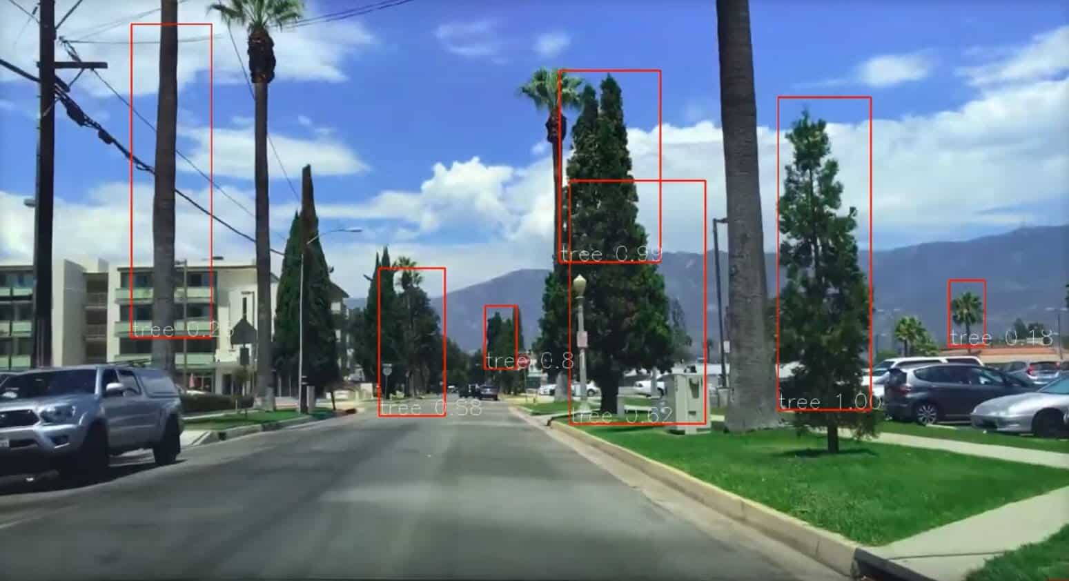
Locating trees in proximity to key assets provides insurance companies with valuable risk assessment information. Detecting trees encroaching buffer zones is also key to infrastructure planning such as gas pipeline or overhead power lines.
Conclusion
Object detection in drone services goes far beyond aerial photography and videography.
Many industries are using drones to assist with important tracking, management, and inventory-related issues in places like warehouses, and even on construction sites. A drone service with object detection can not only help create a grid-based location of assets at any given moment, but it can also provide insight into the check-in and check-out of assets, inventory location, reporting, authorizing yard activity, and more.
It’s easy to see why object detection is so important for drone services. With it, you can focus less on the drone itself and more on whatever business objective you were trying to achieve. It’s one of the purest examples of using technology to support and empower humans, instead of replacing them. This is an important business trend that is going to continue in significance over time.

Frank Segarra
Frank Segarra is the Senior Vice President of Sales at Volatus Unmanned Services. . He has over 30 years of IT, telecommunications and aviation industry experience and was a US Navy aircraft carrier airman specializing in Avionics Engineering. As a thought leader in drone technology, Frank was invited to be a founding member and co-chair of the CompTIA Drone Advisory Council. and is on the Board of Advisors for the PA Drone Association.


