
Lidar vs. Photogrammetry: Understanding Pricing and Technical Variances of Drone Inspection Services
While photogrammetry can be a cost-effective solution for creating detailed 3D models and mapping, lidar provides a more accurate and precise data collection method suitable for various industries, from construction and architecture to forestry and land surveying.
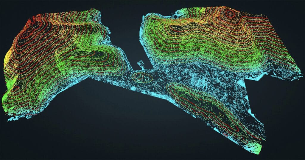
Capturing Drone Data Using Lidar Technology

Maude Pelletier describes elements of lidar technology, compares and contrasts lidar with photogrammetry, discusses strategies for creating point clouds, and explores typical use cases.


