
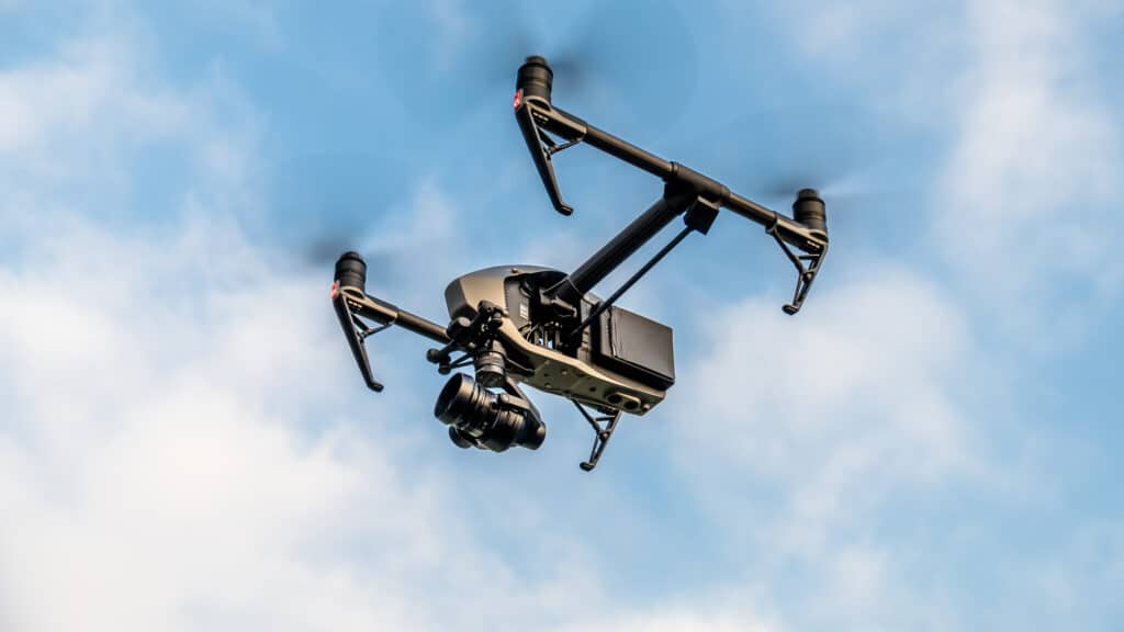
Understanding Drone Technology: How Drones Revolutionize T&D Inspections and Asset Analysis
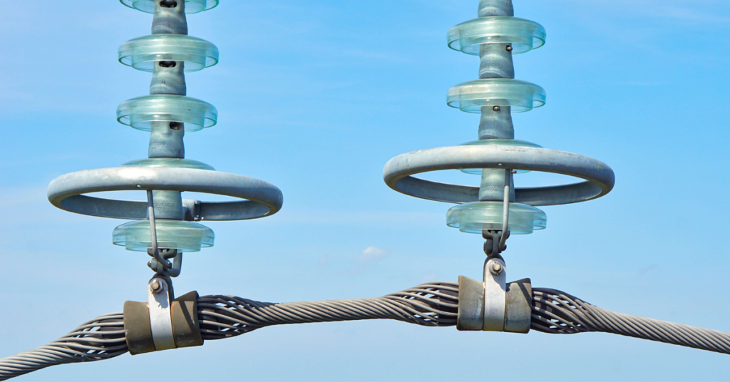
The synergy of drones and expertly outsourced data analysis is emerging as a potent solution for T&D inspections and asset analysis.
Safety Innovations: Using Drones for Confined Space Inspections
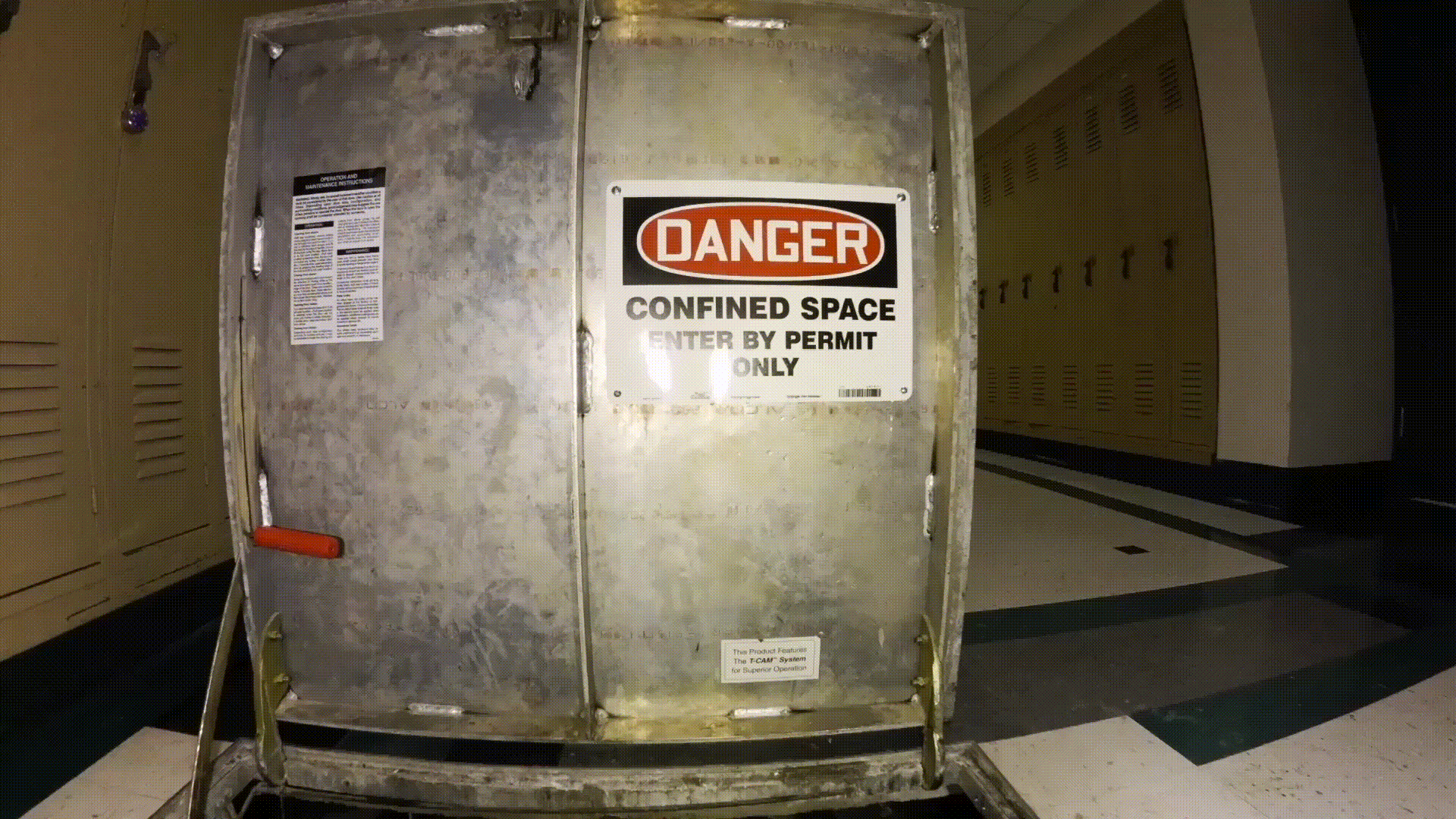
In an era of technology revolutionizing our approach to old problems, safety in confined spaces remains a critical challenge. From complex industrial tanks to tunnel systems and pipelines, confined space inspections have historically been dangerous, expensive, and time-consuming. However, we are now entering a transformative moment. Imagine a world where confined space inspections are carried […]
Drone Video Camera Movements: Understanding the Basic Techniques to Elevate Your Aerial Storytelling
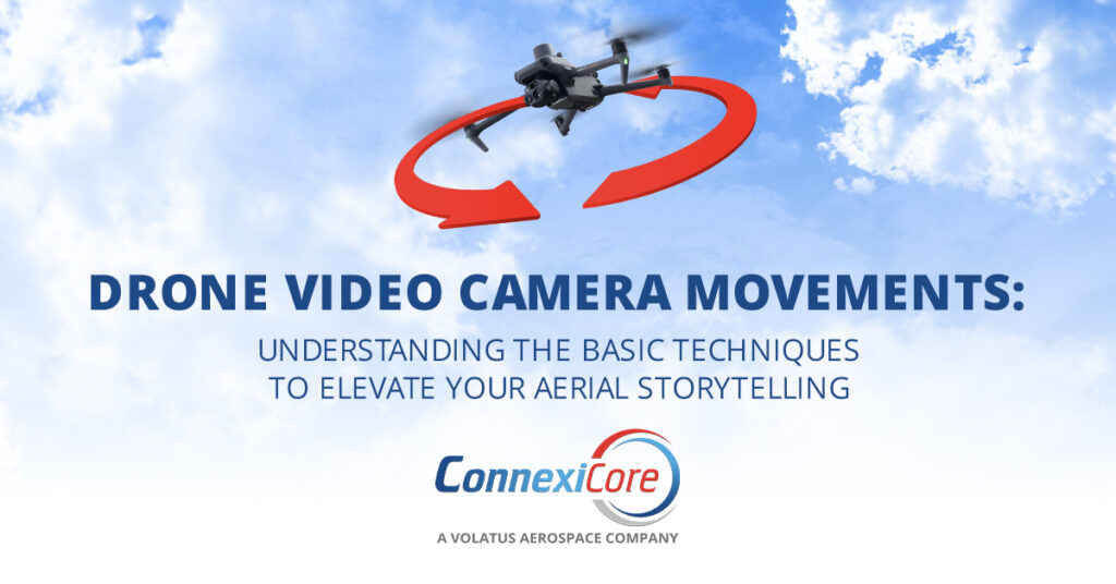
Telling a compelling aerial story requires more than just modern drone equipment. It requires careful planning and execution to ensure that each camera movement intentionally captures footage that ultimately creates a memorable experience for the viewer.
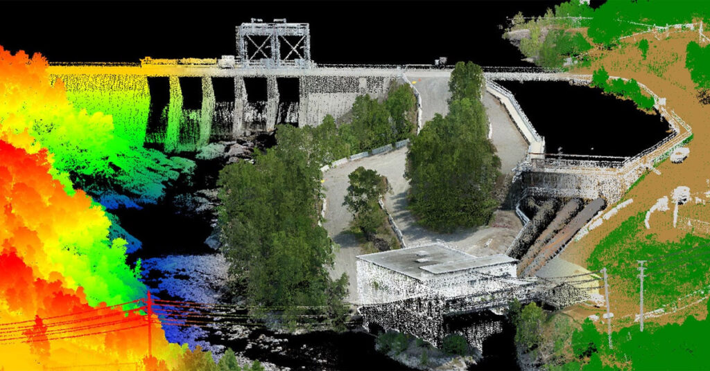
Lidar vs. Photogrammetry: Understanding Pricing and Technical Variances of Drone Inspection Services
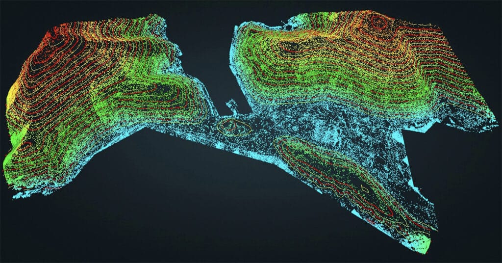
While photogrammetry can be a cost-effective solution for creating detailed 3D models and mapping, lidar provides a more accurate and precise data collection method suitable for various industries, from construction and architecture to forestry and land surveying.
Drone Cinematography: How Technology Has Changed the Way We See the World
Drones have revolutionized the way we capture aerial footage for cinematography. With advancements in technology, drones have become more affordable and accessible, allowing filmmakers and businesses to capture stunning cinematic footage that was once only possible with expensive helicopters, camera rigs, and large production crews.
Empowering Indigenous Communities Through Drone Technology
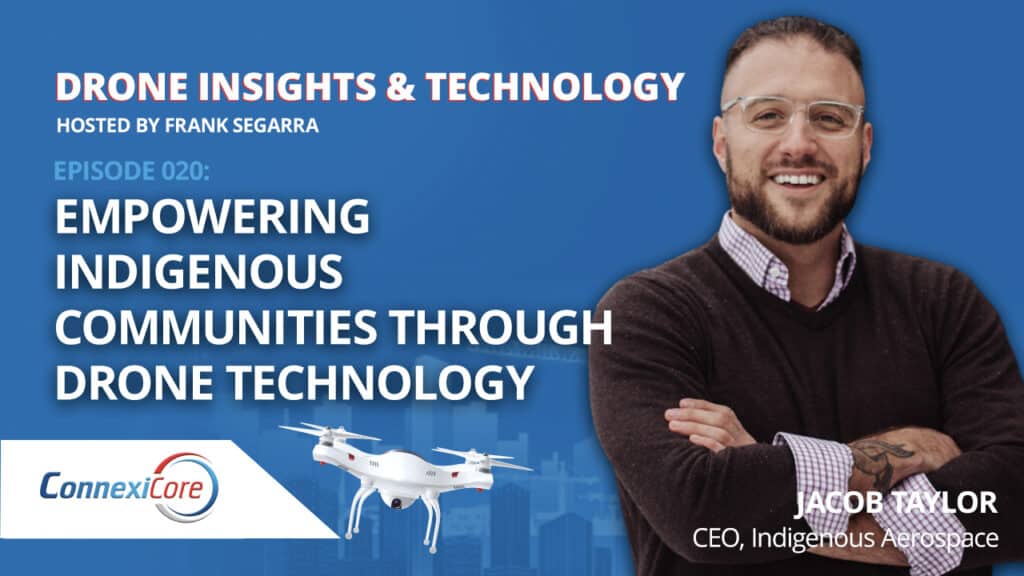
Jacob Taylor of the Curve Lake First Nation – Otter Clan is the CEO of Indigenous Aerospace, a company whose vision is to provide education and support for First Nation people using drone technology in their local territories to improve their local quality of life.
Drone Lidar and The Use Case for Forestry
Lidar technology provides data with high spatial resolution and vertical accuracy, creating opportunities for enhanced forest monitoring and management.
Drone Photogrammetry Advanced Techniques and Applications
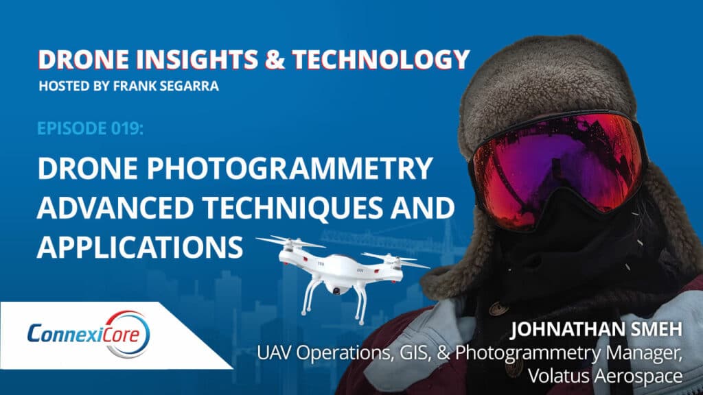
Johnathan Smeh has had quite the journey throughout his nine years in the commercial drone industry, but drones weren’t initially on the radar when he was pursuing a career in geography, GIS, and manned aircraft.
Capturing Drone Data Using Lidar Technology
Maude Pelletier describes elements of lidar technology, compares and contrasts lidar with photogrammetry, discusses strategies for creating point clouds, and explores typical use cases.
How Drones are Being Used in Agriculture
Kirk Floyd combined his RC helicopter skills and a passion for horticulture and arboriculture to create a business within the emerging commercial drone market. Kirk shares some great stories from the field, and how he used his ingenuity for on-location problem solving during drone missions to ensure their success.


