
Lidar vs. Photogrammetry: Understanding Pricing and Technical Variances of Drone Inspection Services
While photogrammetry can be a cost-effective solution for creating detailed 3D models and mapping, lidar provides a more accurate and precise data collection method suitable for various industries, from construction and architecture to forestry and land surveying.
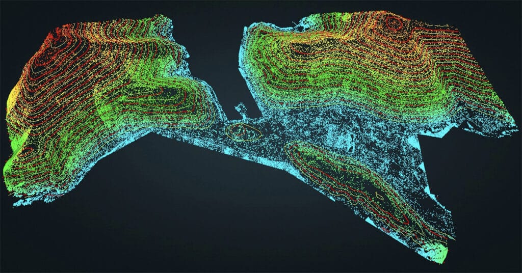
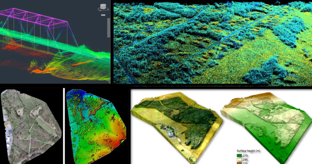
Drone Lidar and The Use Case for Forestry
Lidar technology provides data with high spatial resolution and vertical accuracy, creating opportunities for enhanced forest monitoring and management.
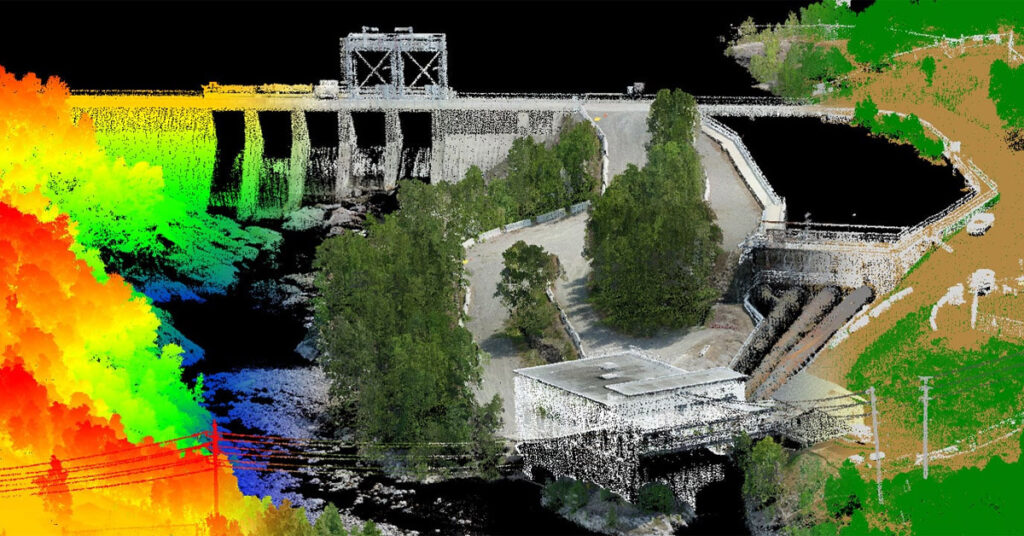
Using Drone Mapping In the Construction and Engineering Industry
Most commercial construction sites are typically locations for future warehouses, retail facilities, commercial real estate, manufacturing plants, business offices, etc. Engineering firms are now able to identify potentially unforeseen hazards and plan more effectively by using drone mapping technology to track site progress.
Insights From Six Years In The Drone Business

It is important to acknowledge that I feel so blessed, grateful, and humbled to have worked with drones and all the interesting people I have met over the last six years who have helped push the drone industry forward.
It’s Not About the Drone… It’s About the Data
| For the last 6 years or so the world has witnessed how incredible drone camera technology has generated super-high-resolution images and stunning aerial video in 4K resolution and captured at up to 60 frames per second quality. These two data types have catapulted the drone industry initially in Real Estate and aerial cinematography. Drones […]
How Drones Provide Faster and Less Costly Property and Facility Assessments
Why regular building inspections are so important Building owners and facility managers have more at stake than just time and money. Keeping structures safe is a key part of everyday business operations. When it comes to protecting both the building and the business, costly problems can arise at any time. Inspecting and evaluating the envelope […]
How Effective Are Drones For Building Facade Inspections

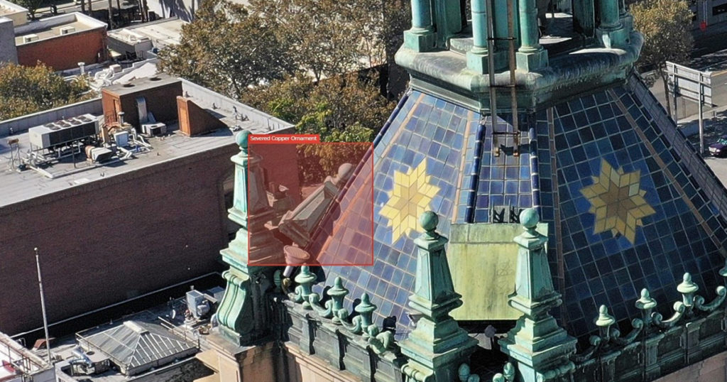
Aging building infrastructure is crumbling nationwide In the last decade, there has been a rapid decline in the structural integrity of aging exteriors and vertical facades. Recently, in a few major metropolitan cities, there have even been fatalities from falling facade components becoming dislodged and falling to the ground as lethal airborne projectiles. Keeping the […]


