Skip to content
Industries
Construction Engineering
Insurance Inspections
Energy & Utilities
Media & Marketing
Solar PV Inspections
Transportation & Railroad
Commercial Real Estate
Precision Agriculture
Services
Drone Video Services
Drone Facade Inspections
Facade Overview
Facade Inspection Quote
Facade Inspection Ordinances
Facade Inspection Partner Program
Drone Lidar Inspections
Confined Space Drone Inspections
Drone Roof Inspections
ConnexiCore Cloud Image Management Platform
Equipment
Resources
Blog
Podcast
Webinars
Documentation
About
Company
Contact
EN
FR
Menu
Industries
Construction Engineering
Insurance Inspections
Energy & Utilities
Media & Marketing
Solar PV Inspections
Transportation & Railroad
Commercial Real Estate
Precision Agriculture
Services
Drone Video Services
Drone Facade Inspections
Facade Overview
Facade Inspection Quote
Facade Inspection Ordinances
Facade Inspection Partner Program
Drone Lidar Inspections
Confined Space Drone Inspections
Drone Roof Inspections
ConnexiCore Cloud Image Management Platform
Equipment
Resources
Blog
Podcast
Webinars
Documentation
About
Company
Contact
EN
FR
(855) 330-1780
GET QUOTE
CALL FOR QUOTE
DRONE DOCUMENTATION,
RESOURCES AND VIDEO
INDUSTRIES
Nationwide Drone Flight Services for Construction & Engineering
Nationwide Marketing & Event Drone Services
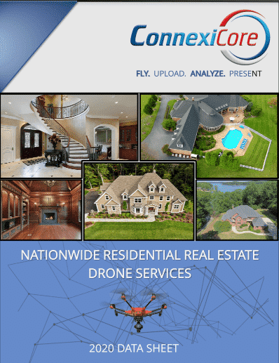
Nationwide Residential Real Estate Drone Services
UAVs for Gold Course Management
Drones for Real Estate Marketing: Is the investment Worth it?
A Playbook for Drone Data in the Construction Industry
USE CASES
Drone Data Solution for Agriculture
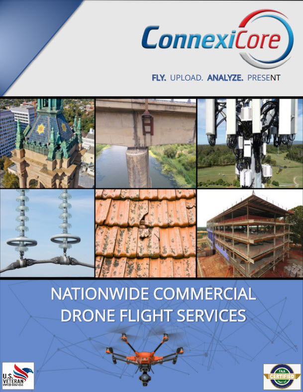
Nationwide Commercial Drone Flight Services
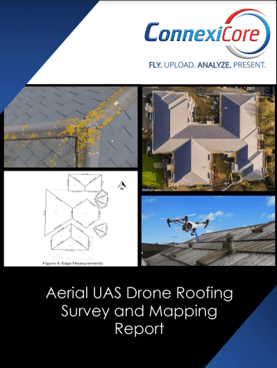
Aerial UAS Drone Roofing Survey Mapping Report
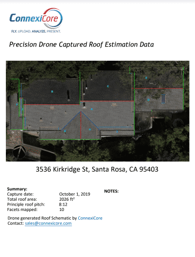
Sample Precision Drone Roof Estimation Data
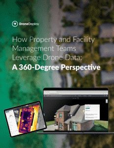
How Property & Facility Management Teams Leverage Drone Data: A 360-Degree Perspective
Drone Data Solution for the Oil & Gas Industry
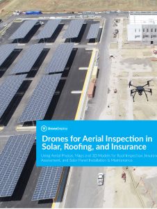
Sample Precision Drones for Aerial Inspection in Solar, Roofing, and Insurance
Drones for Construction Project Management
Drones and Extending the value of BIM
ANALYTICS
Delair Brochure Construction Analytics
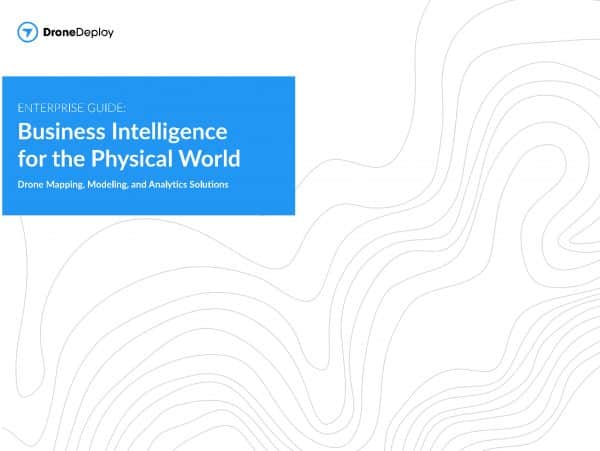
Drone Mapping, Modeling, and Analytics Solutions
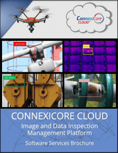
ConnexiCore Cloud Image and Data Inspection Management Platform
Aerial UAS Drone Roofing Inspection and Analytics Report
TUTORIALS
Making Great Maps
WEBINARS
VIDEOS
Play Video
Play Video
OTHER DOCUMENTATION
Linear Measurement Accuracy of DJI Drone Platforms
Best Practices to Protect Against the Invasion of Privacy for Commercial UAV Missions
Drug & Alcohol Policy
Your Guide to Managing an Effective Drone Program
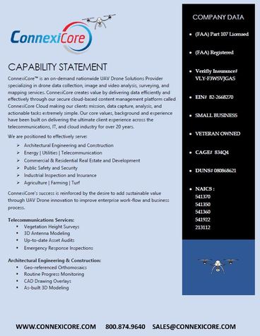
Volatus Unmanned Services Capability Statement
Drone Safety & Operations
Information About Social Distancing
ConnexiCore is now Volatus Unmanned Services.
Learn more.